Overview (Version 0.10.1)
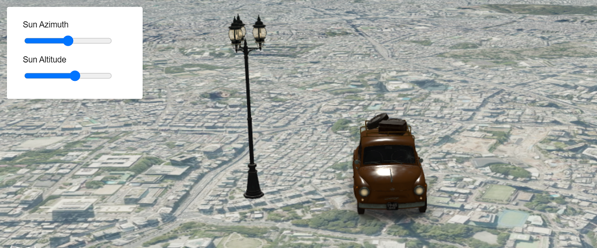
Custom animation
Custom animation with EasyBindingBlock
Curve animation

Using cosine curve to make animation
Position curve
Set entity position with curve animation
Text animation
Using animation to update text
Multiple animations
Multiple animations on the same entity
Step animation

Animation without interpolation
Basic animation with UI Viewer
Basic animation sample utilizing Mapray animation engine through UIViewer
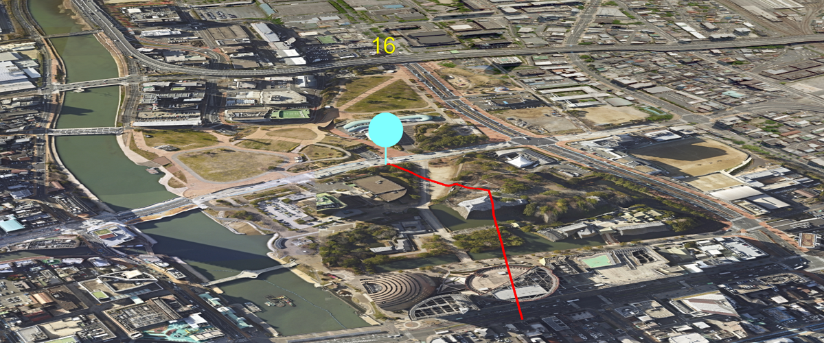
MarkerLineEntity
Animation without using Mapray animation engine
Model animation
Play gltf model animation
Model custom animation
Custom animation for gltf model
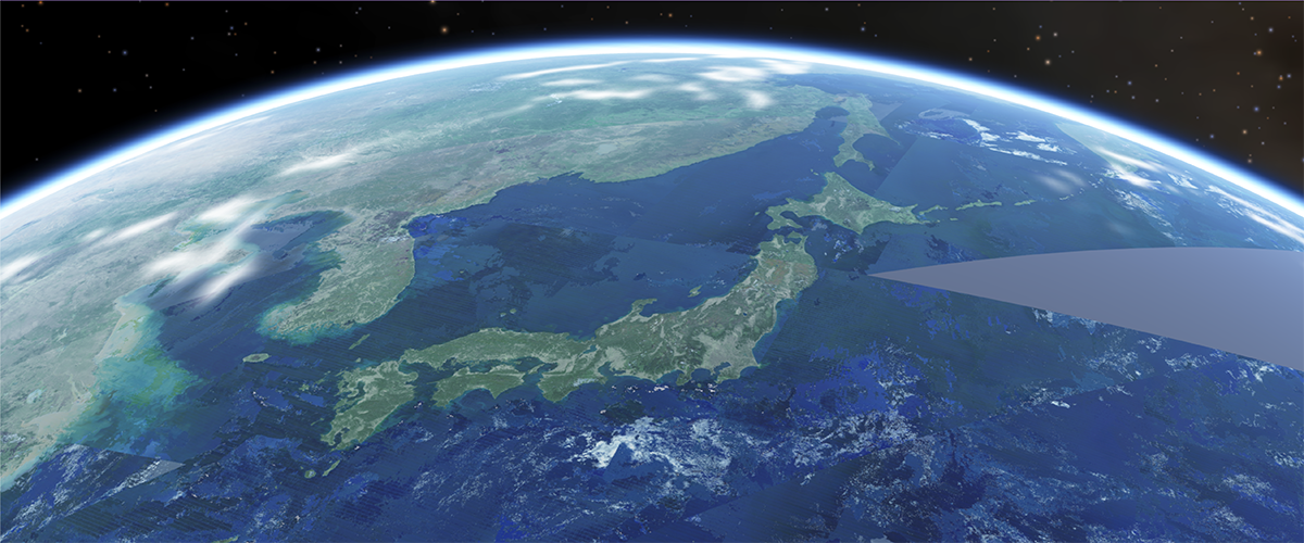
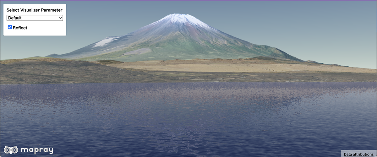
Add an atmosphere on the world
Basic sample for adding atmospheric representation to the virtual Earth
Display clouds in the sky 
Sample utilizing cloud layers to overlay clouds in the sky.
Display stars and the moon
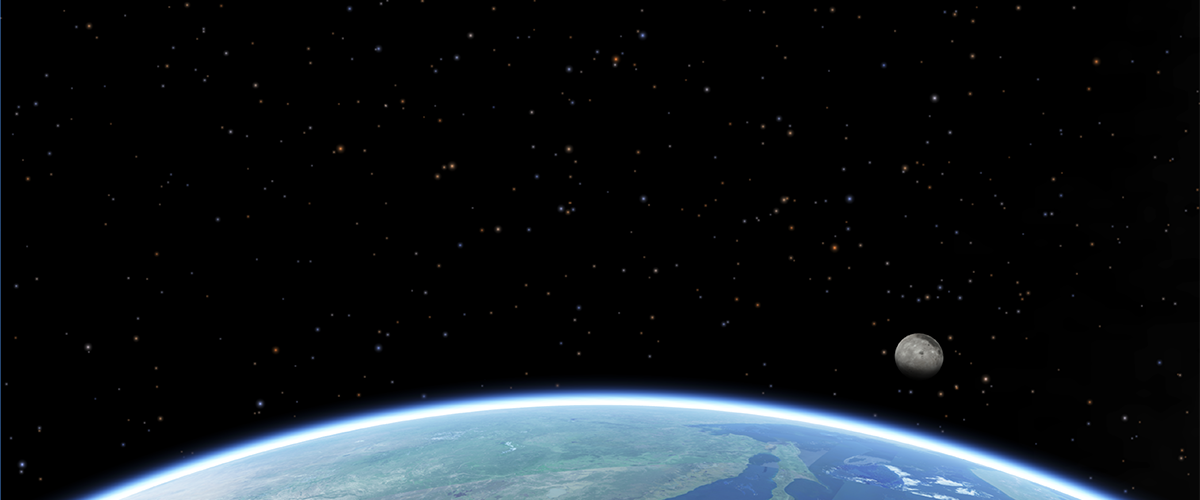
Sample for adding stars and the moon in the space
Add volume clouds to the world
Basic sample for adding volume clouds to the virtual Earth
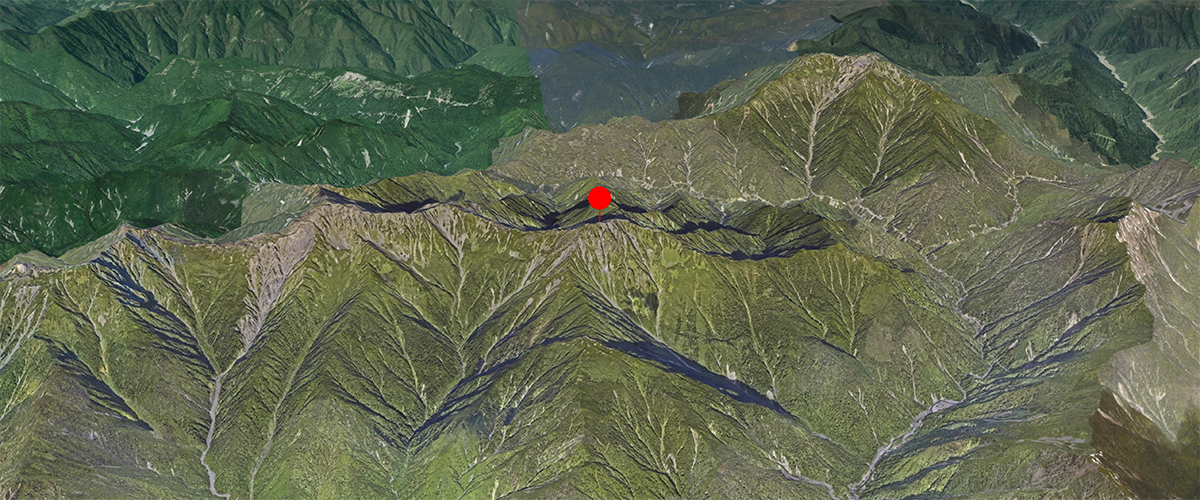
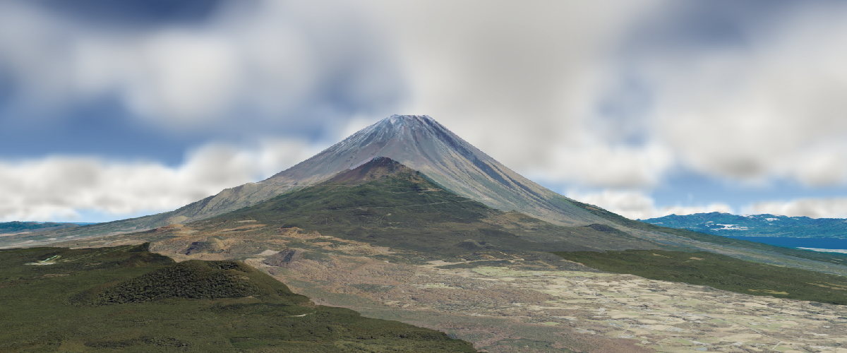
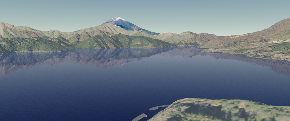
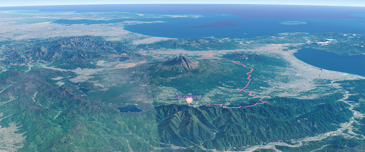
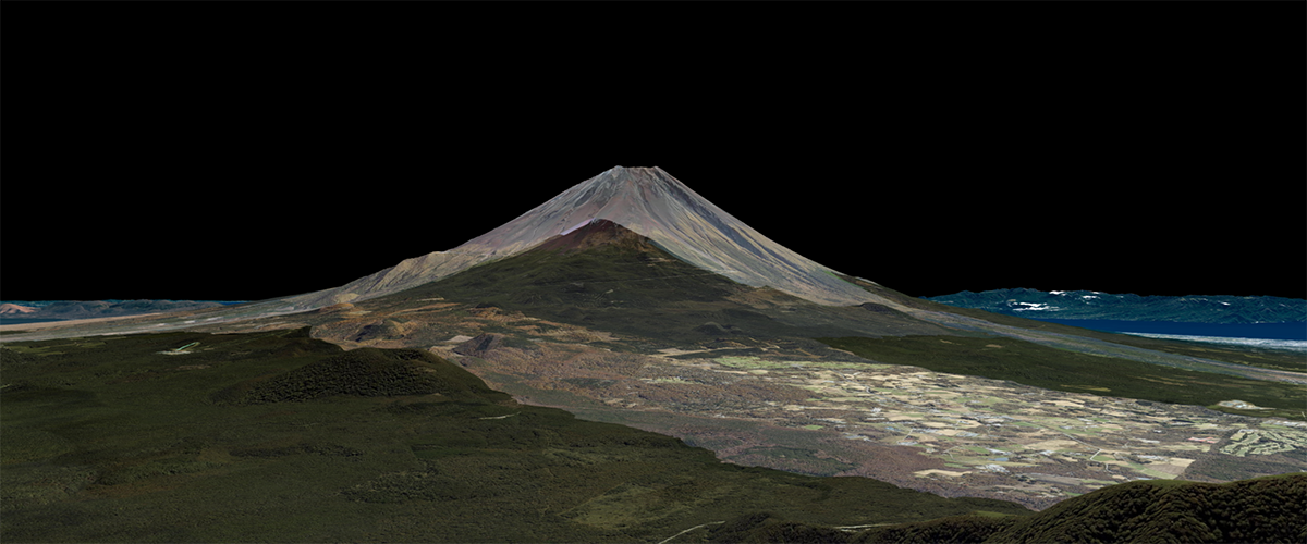
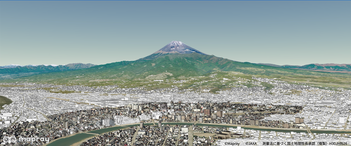
Animate the camera around a point
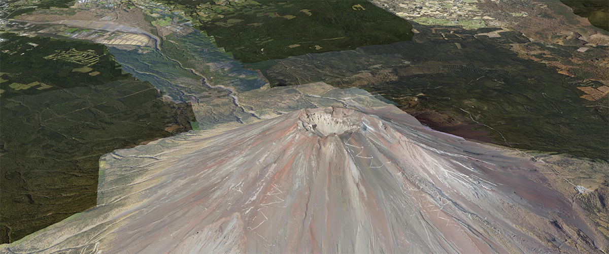
Animate the camera around Mt.Fuji
Add a DEM layer
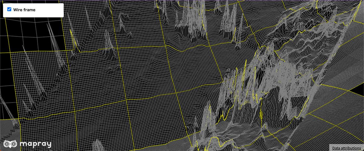
Add a DEM layer
Remove a DEM layer
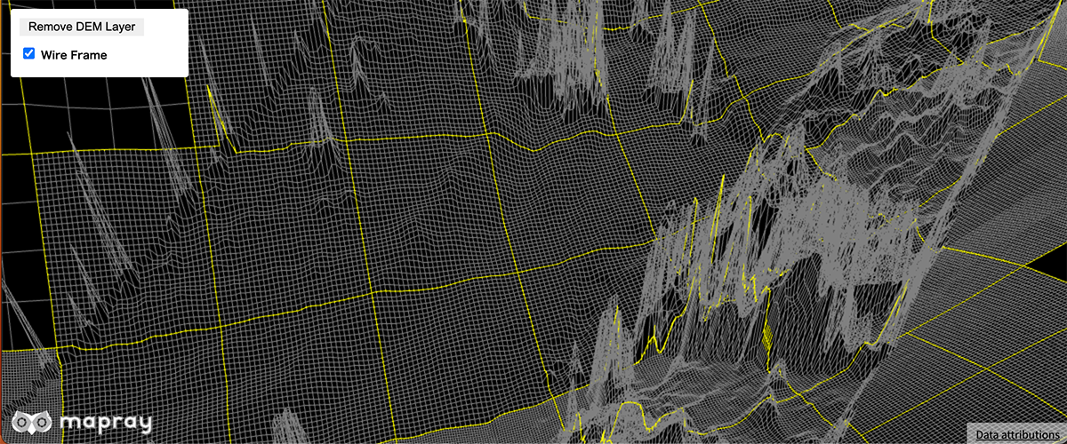
remove a DEM layer
Set dots per pixel
![]()
Set dots per pixel
Set visibility of DEM layer
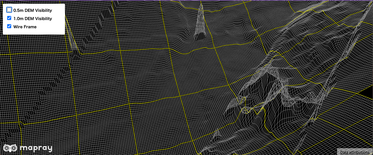
Set visibility of DEM layer
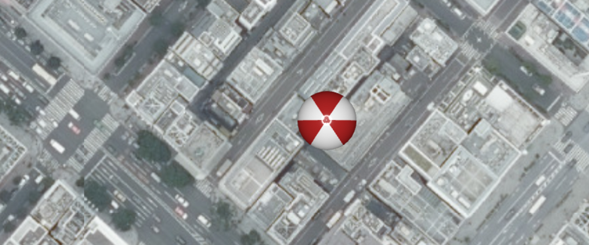
Add a image icon
![]()
Add a image icon with Entity API
Add a gltf model
Add a model with Entity API
Add a pin
Add a pin with Entity API
Add a text
Add a text entity with Entity API
Add a water polygon
Add a water polygon with Entity API
Add a water polygon with cloud api
Add a water polygon with Cloud API
Change the style of a text entity
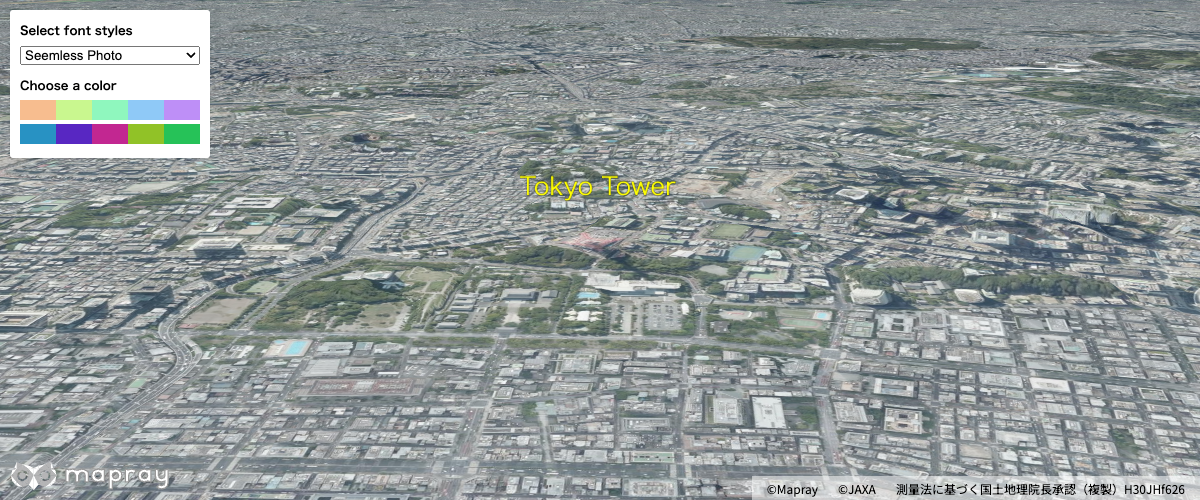
Add a text entity using the Entity API and change its style
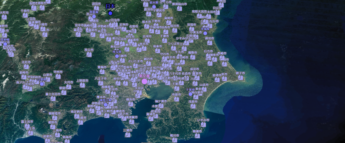
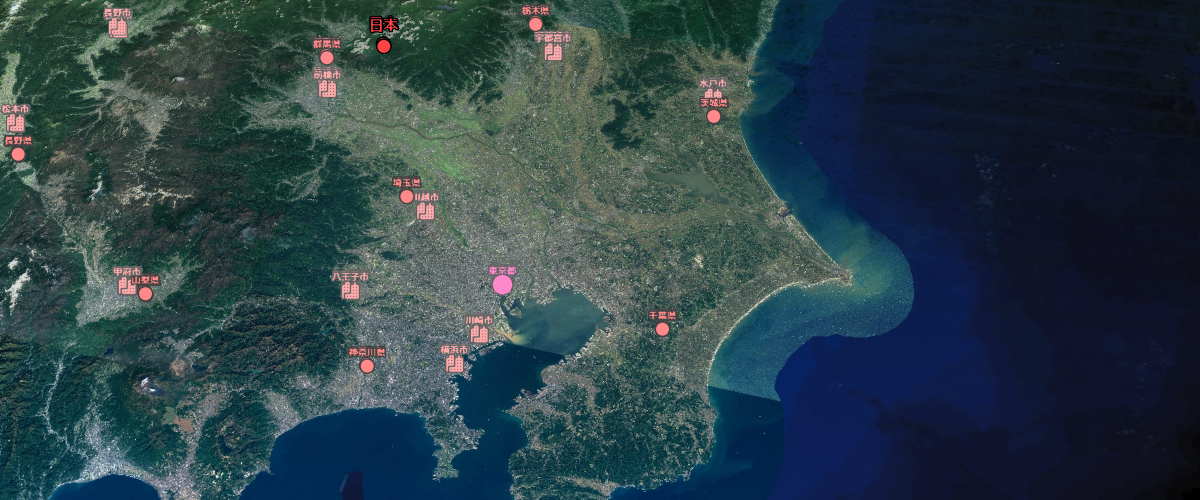
Load a GeoJSON file with properties
Load a GeoJSON file with properties
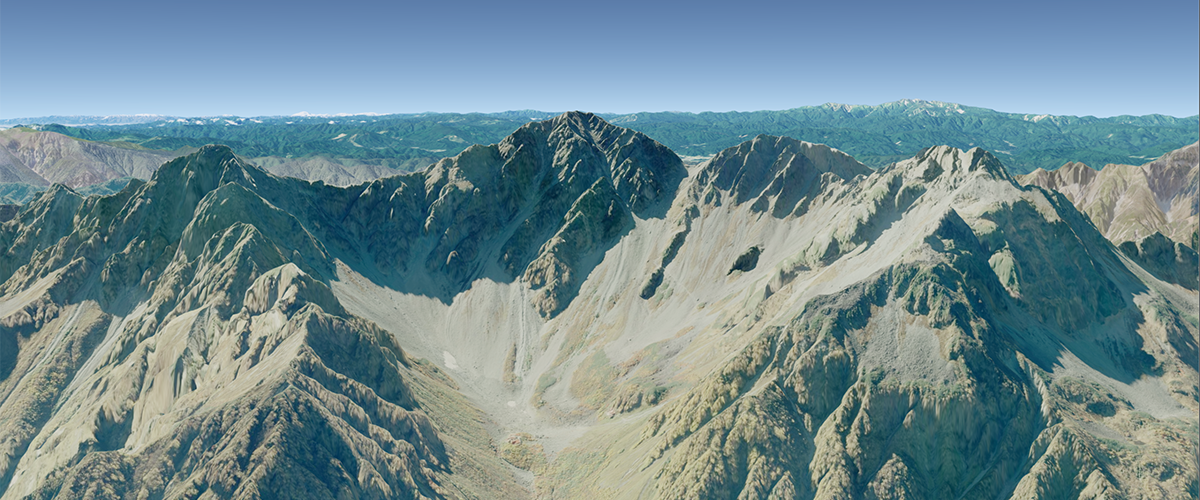
Terrain elevation queries
Make client side terrain elevation queries.
Update model material
Update model material at runtime.
Support of gltf variant
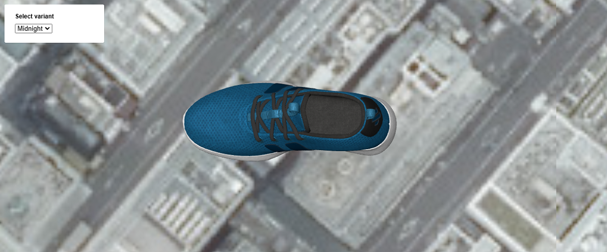
Update model variant at runtime.
Set water polygon parameter
Set water polygon parameter
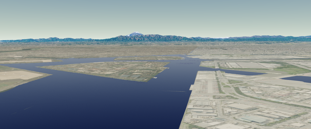
Display basic earth on a webpage
Basic Sample for Displaying a Virtual Earth with Mapray
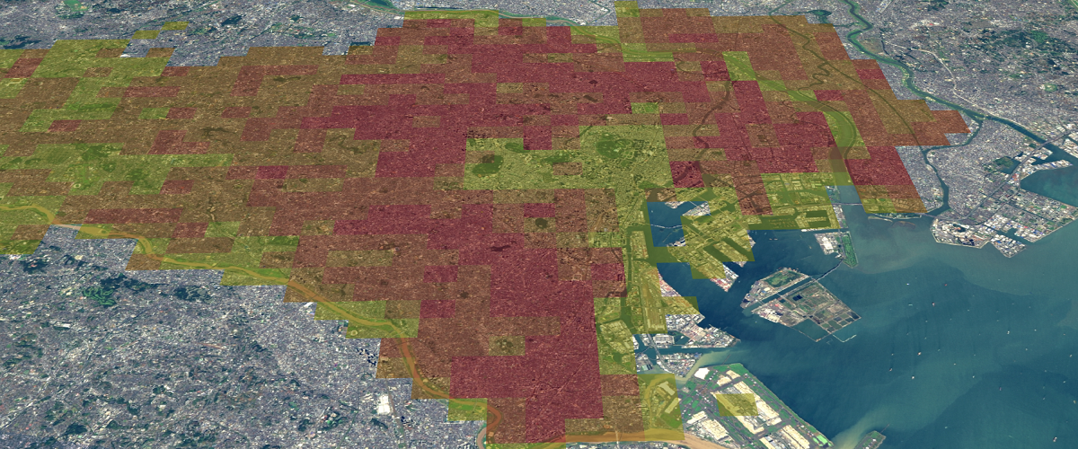
Add region contour
Add region contour on rastermap tiles
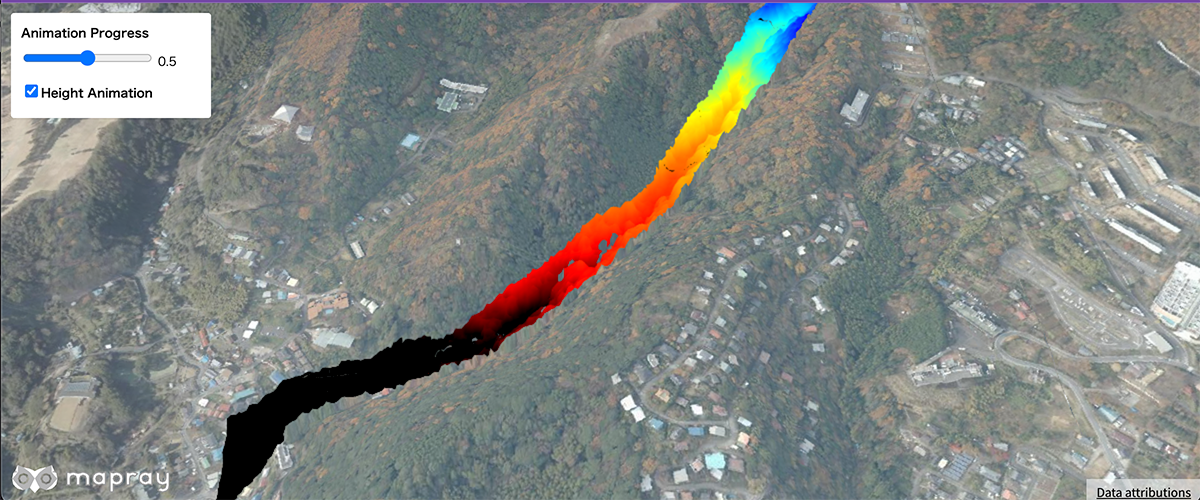
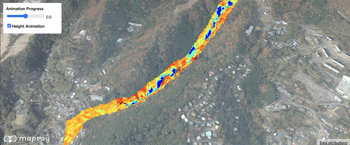
Colormap animation
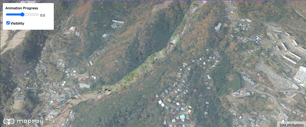
Display Image animation of rastermap tiles
Contour animation
Display Contour animation of rastermap tiles
Region Colormap Animation
Display Image animation of rastermap tiles with region
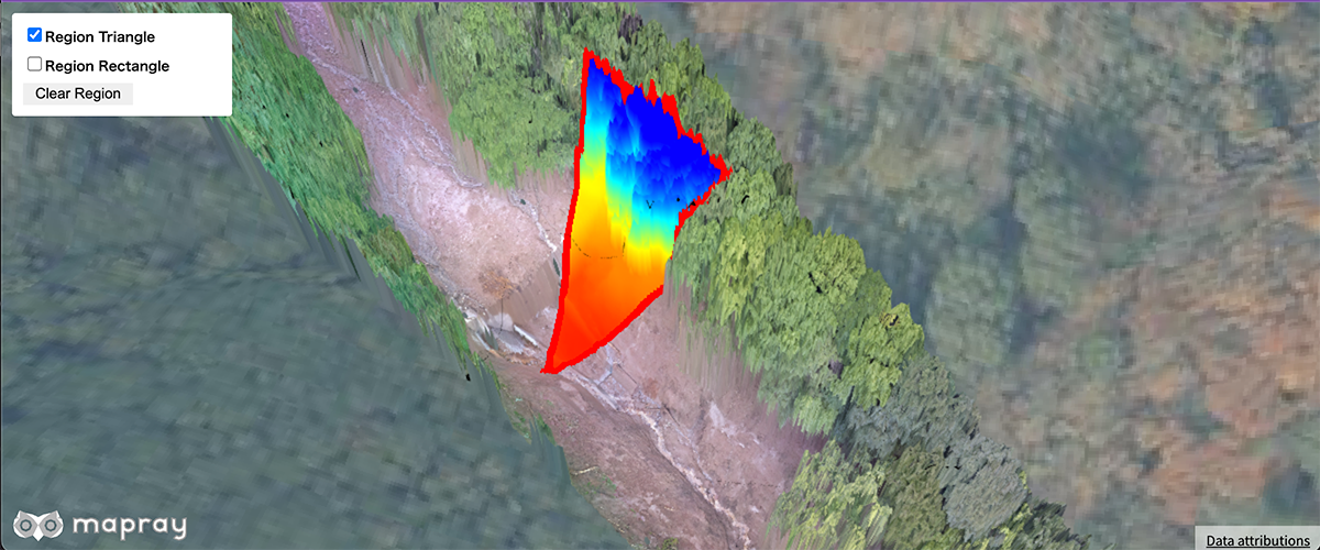
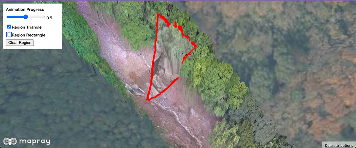
Region Contour Animation
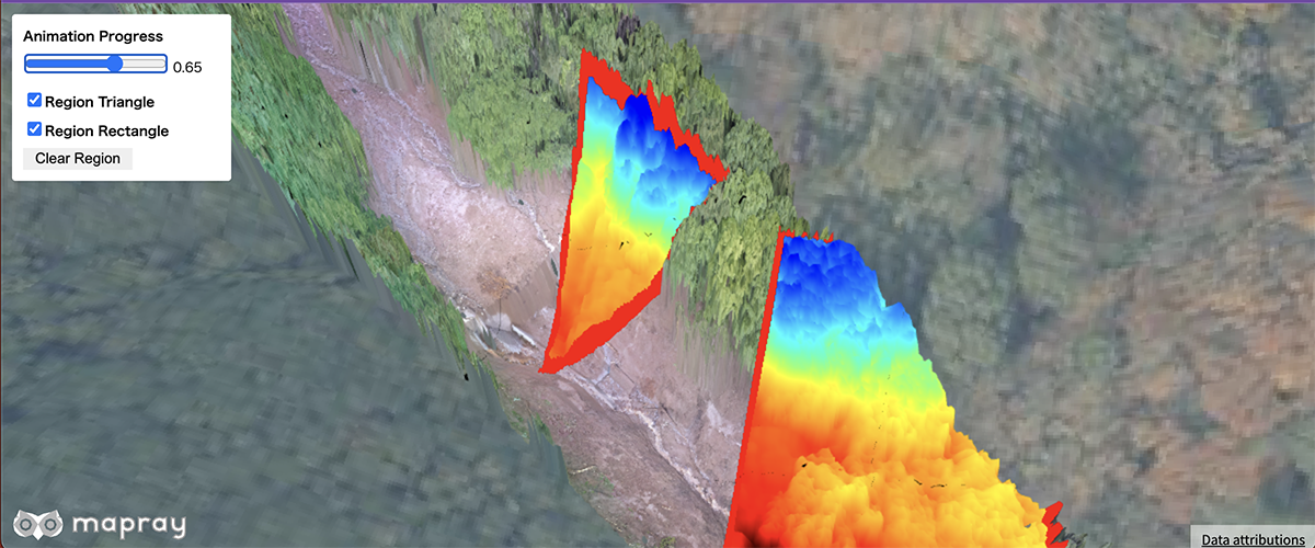
Display Contour animation of rastermap tiles with region
Compare Heightmaps
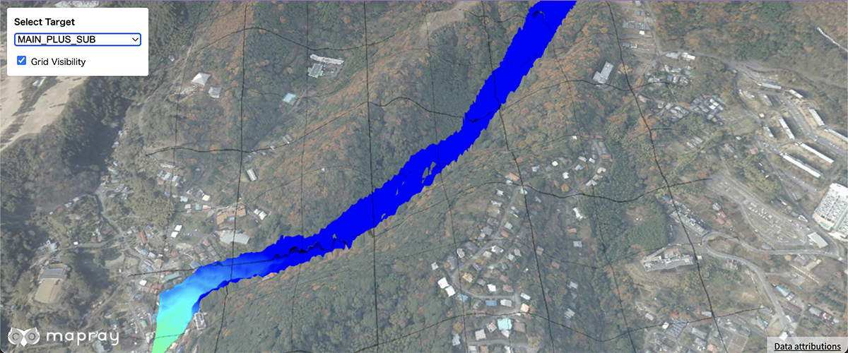
Compare main and sub heightmaps
Compare Heightmaps With Base
Compare the from and to heightmaps against the base heightmap
Set contour parameter
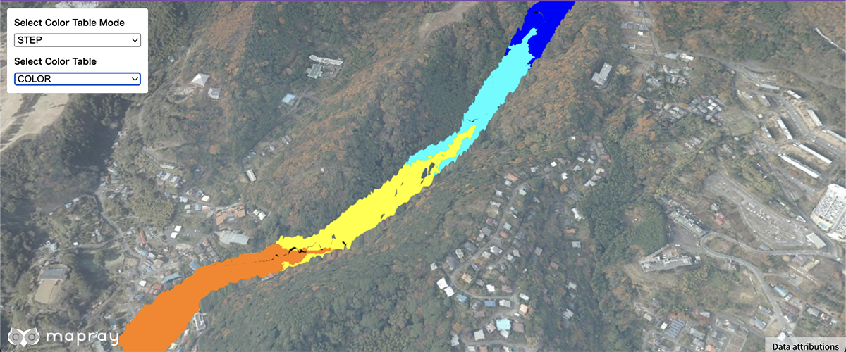
Set contour parameter of rastermap tiles
Set View Mode
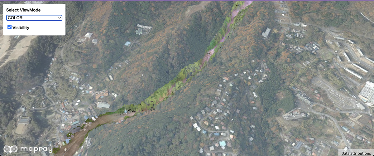
Set view mode at rastermap tiles
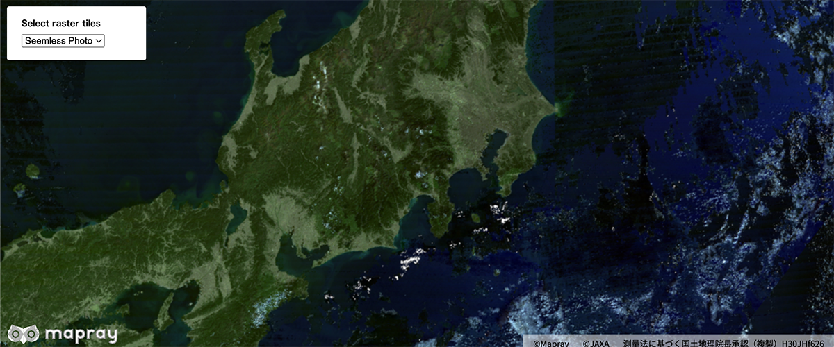
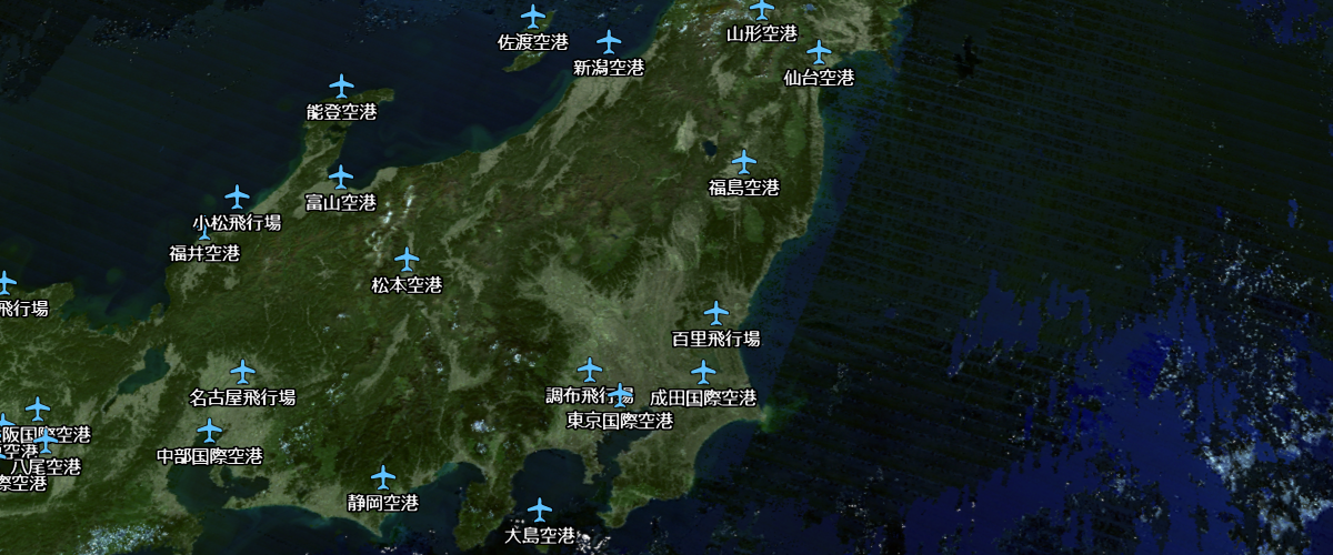
Add a raster tile source
Add a third-party raster source to the map.
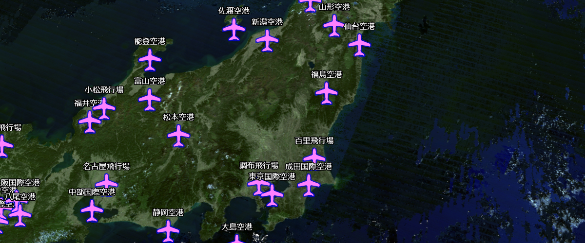
Switch a raster tile source
Switch a third-party raster source to the map.
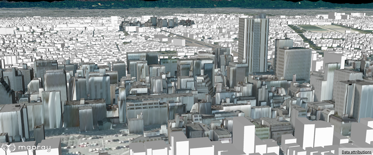
Display 3D Buildings on the earth
Using the B3dTiles format converted from PLATEAU LOD3.
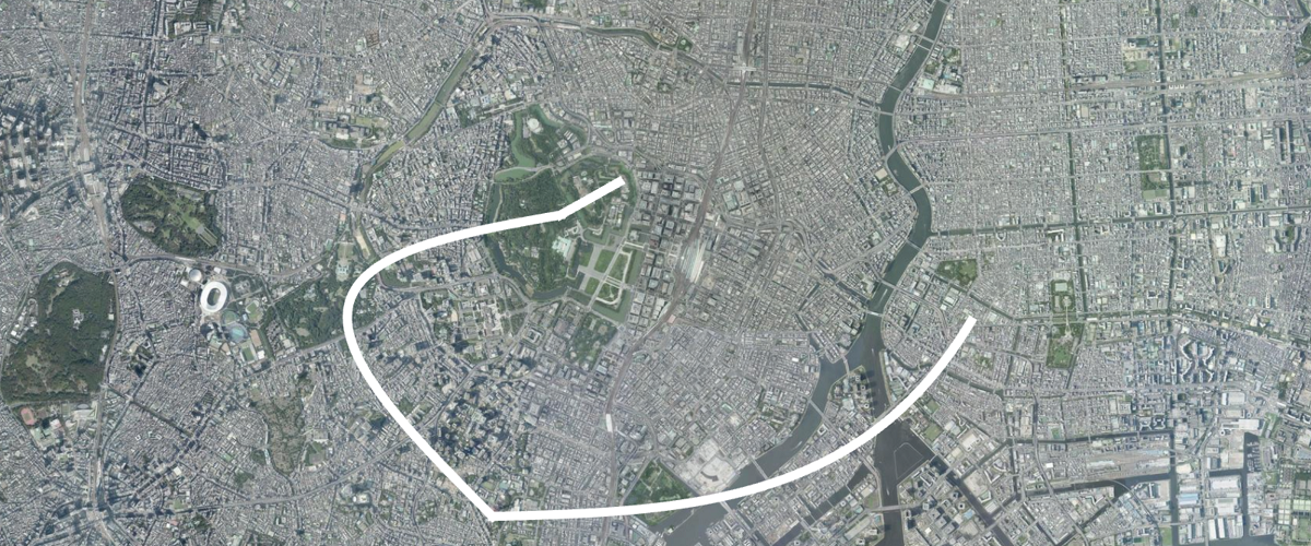
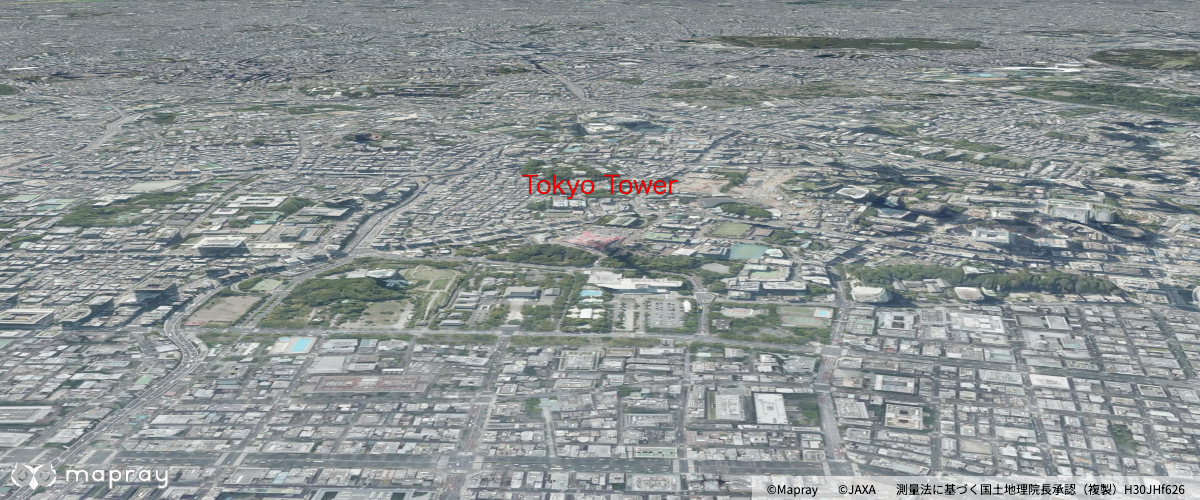
Display 3D Tokyo on the earth
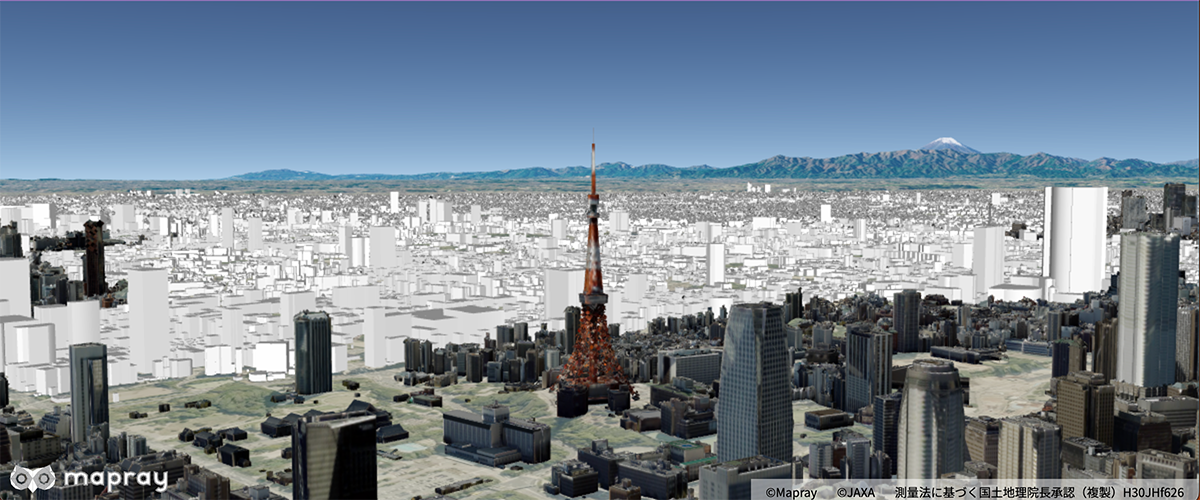
Using the B3dTiles format and display 3D Tokyo.
Display 3D Building on the earth with Mapray Cloud
Displays 3D building data uploaded to Mapray Cloud on the earth
Display google 3dtiles
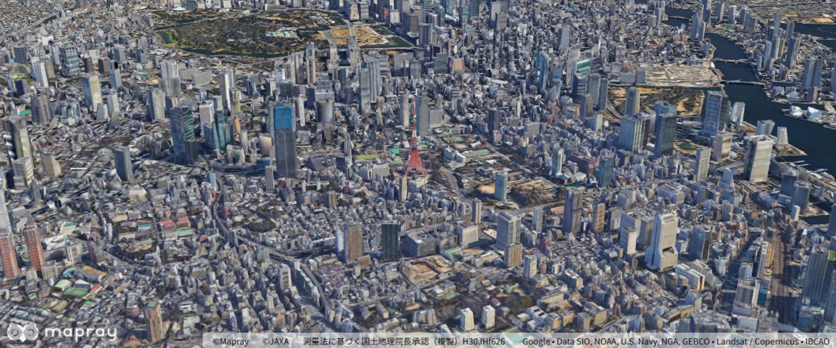
Display Google Photorealistic 3D Tiles
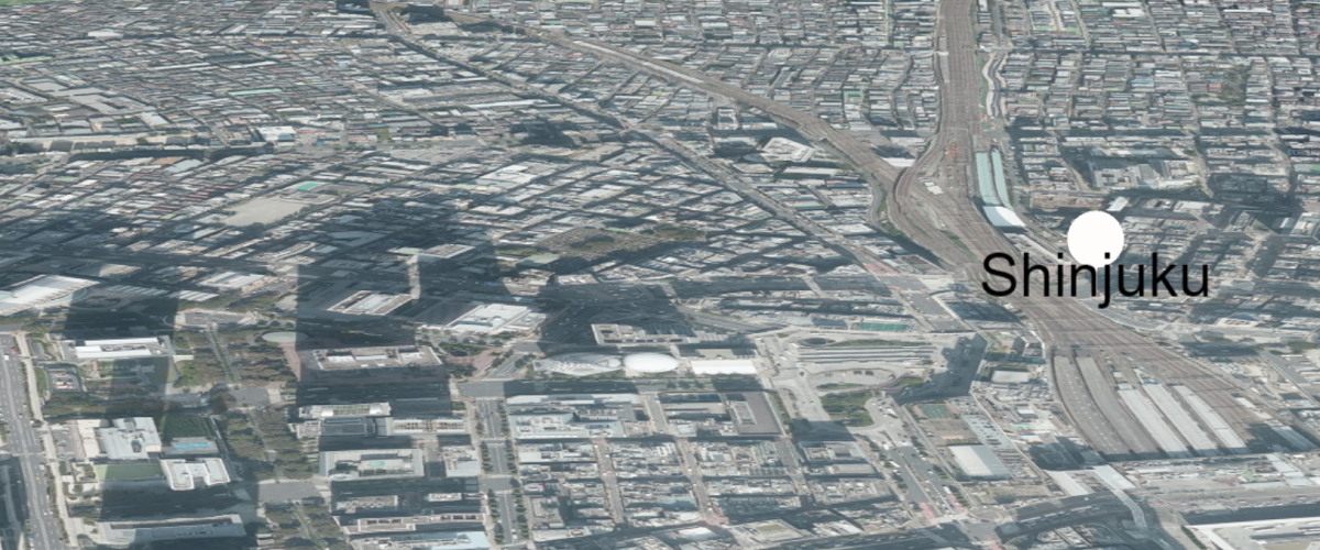
Display plateau 3dtiles
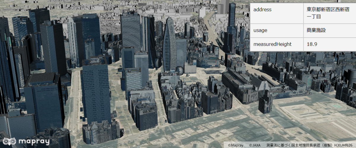
Display a 3dtiles of plateau shinjuku(LOD2)
Display a point cloud 
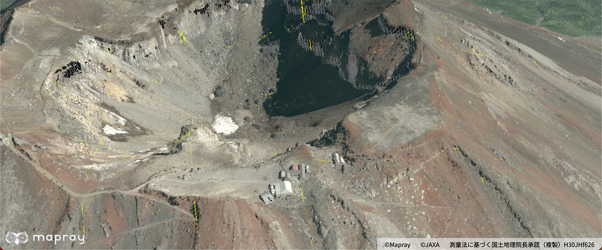
Display a point cloud to the map
Get the nearest point's position in the point cloud
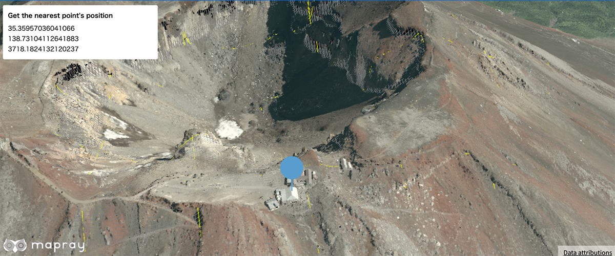
Get a nearest point position in the point cloud
Load scene file
Load scene with SceneLoader API
Display vector tiles
Display vector tiles
Display vector tiles and changed style
Display vector tiles and changed style
Display vector tiles with filter
Display vector tiles with filter
Display vector tiles with mapray cloud
Display vector tiles with mapray cloud
Display vector tiles with mapray cloud and changed style
Display vector tiles with mapray cloud and changed style